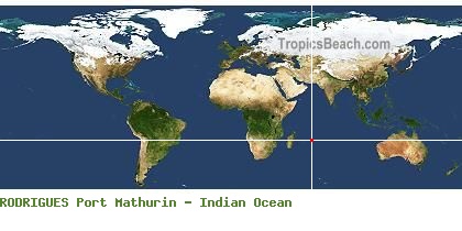
Where is Port Mathurin, RODRIGUES?
 GPS
GPS
RODRIGUESPort Mathurin
Longitude : 63° 25' 12.00''
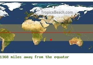
Latitude : -19° -40' -48.00''
When to go?
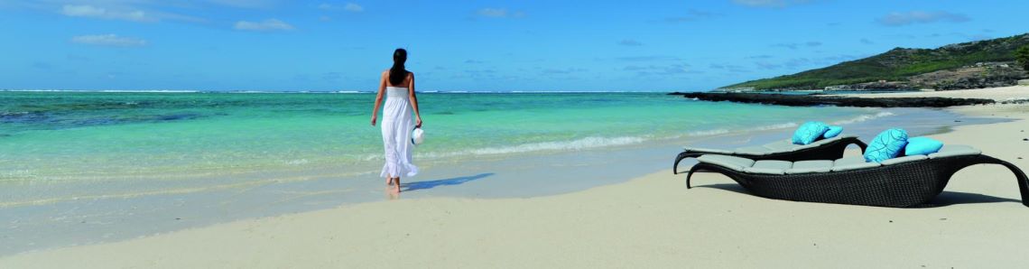
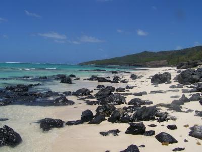
Port Mathurin - RODRIGUES
Port Mathurin is a city from RODRIGUES. The white intersection on the left side map, shows its exact position in the world. You can use the GPS coordinates: latitude -19.68 and longitude 63.42 to find all the beaches by the Indian Ocean with GoogleEarth or GoogleMaps.
Useful information about your trip to Port Mathurin
 Jet Lag is GMT+4, Local time : July 2026, Tuesday 21, 03:59 AM
  Take-off New York and Landing Plaine Corail Airport, Flight duration 19H40 (New York - Port Mathurin)
 Map of hotels and accommodations around Port Mathurin
Flight time from New York to Port Mathurin (RODRIGUES) - Flight duration 19H40
As an indication, departures from New York to Port Mathurin are mainly at the two airports of New York. Flights from major cities in the USA are often possible. In all the best cases, the minimum flight time is 19H40 to cover a distance of 9.542 miles.
Landing and take-off : Plaine Corail Airport. Flight time New York - Port Mathurin : 19H40 More information about this destination ...
 ST FRANCOIS
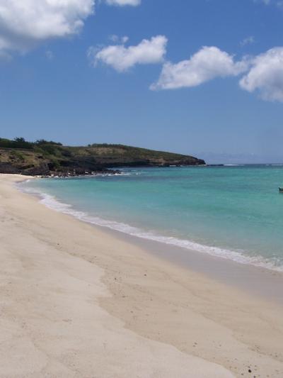 GRAVIER